Connected Vehicles Are Here

Connected vehicle technology enables cars, buses, trucks, trains, roads and other infrastructure, and even smartphones and other devices to “talk” to one another. According to the U.S. Department of Transportation, connected vehicles could dramatically reduce the number of fatalities and serious injuries caused by crashes on our roads and highways.

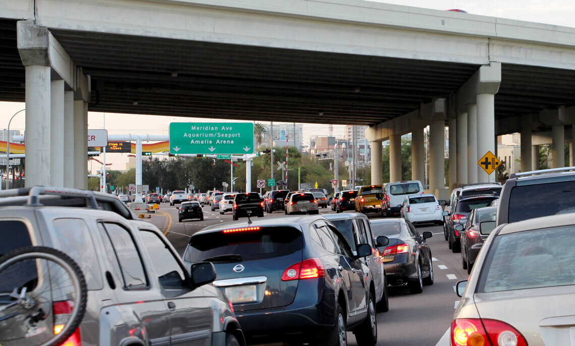
The THEA Connected Vehicle Pilot is testing and deploying a variety of connected vehicle applications to improve safety, mobility and the environment in downtown Tampa. Participating drivers and pedestrians are expected to experience these benefits in many ways.

Speed Limit Image

SAFETY

Connected vehicles may make downtown a safer place to drive by communicating wirelessly with each other and with elements of the roadway such as traffic lights. This real-time communication will enable connected vehicles to warn their drivers of a variety of safety hazards. For example, as morning commuters approach downtown on the Lee Roy Selmon Expressway Reversible Express Lanes, they will receive a warning when cars on the road ahead have suddenly slowed down or come to a stop. Participating drivers approaching the midblock crosswalk on Twiggs Street near the Hillsborough County Courthouse will even receive an alert when a pedestrian is crossing the street ahead of them.

Mobility Image

MOBILITY

Beyond preventing crashes, connected vehicles can also improve mobility. When cars are able to communicate with traffic signals, for example, transportation managers can track signal performance, adjust signal timing and keep traffic flowing smoothly. Buses will communicate with traffic signals too, helping them to stay on schedule and their passengers to arrive on time.

Environment Image

ENVIRONMENT

Connected vehicles can be good for the environment too. When traffic is flowing more smoothly, cars operate more efficiently and consume less fuel. Fewer stops and starts at traffic lights may also reduce emissions of greenhouse gases.

Want to know more? Read about what we’re doing, view our interactive map, browse frequently asked questions (FAQs) or visit our library of resources for more information.